-

| xxMap |
Bridge in Kemmeribodenbad |
Mapxx |
-

Icicles
-

Icicles
-
")
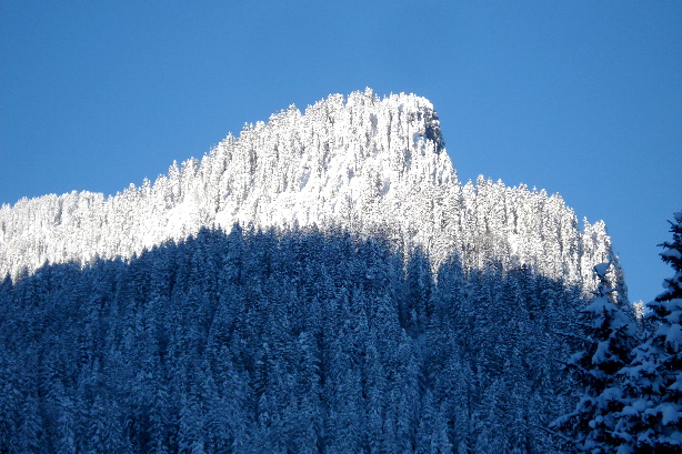
Schibegütsch (2037m)
-
")
Schibegütsch (2037m)
-

Emme creek;
-

Emme creek;
-
")
Schibegütsch (2037m)
-
-

Vorder Schönisei
-
")
Böli (1856m)
-
-
-

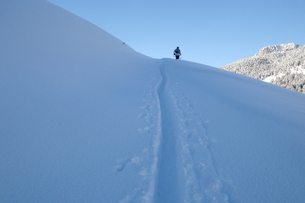
Look to the north
-
 and Böli (1856m)")
Schibegütsch (2037m) and Böli (1856m)
-
-
")
Sitenegg Secondary summit (1512m)
-
")
Tannhorn (2221m)
-
")
Pfosteregg (1436m)
-
")
| xxMap |
Sitenegg Secondary summit (1512m) |
Mapxx |
-
")
Augstmatthorn (2137m)
-

Grönfluh, Schafmatt, Fürstein, Chli Fürstein
-
 and Nünalpstock (1894m)")
Hagleren (1949m) and Nünalpstock (1894m)
-

Look to the north
-
")
Schrattenfluh (2092m)
-
")
Pfosteregg (1436m)
-

Avalanche
-

Avalanche
-
")
Tannhorn (2221m)
-
")
Hohgant (2197m)
-

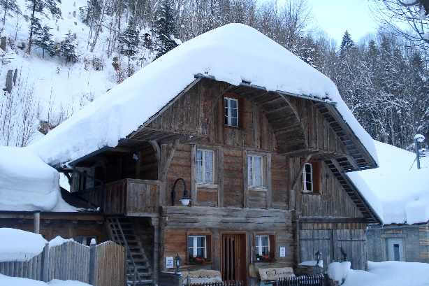
Lamp
-
-
")
| xxMap |
Kemmeribodenbad (976m) |
Mapxx |